DCSki Today

Latest Stories

Newsroom →
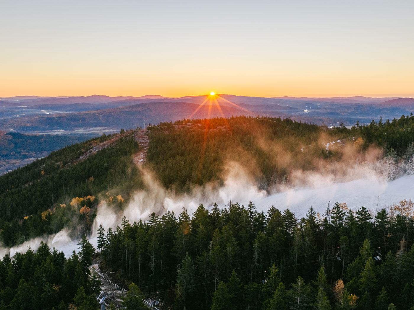
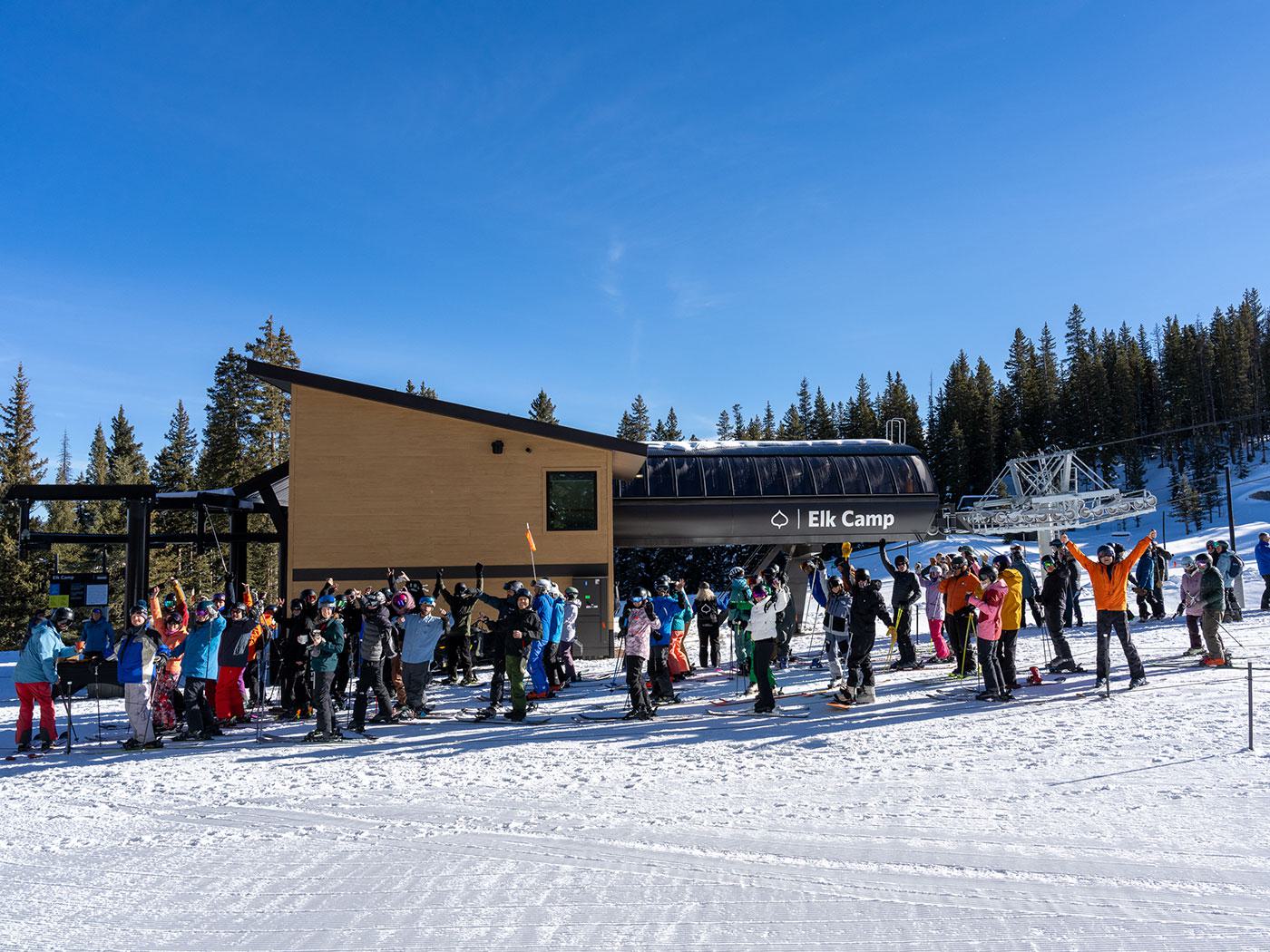
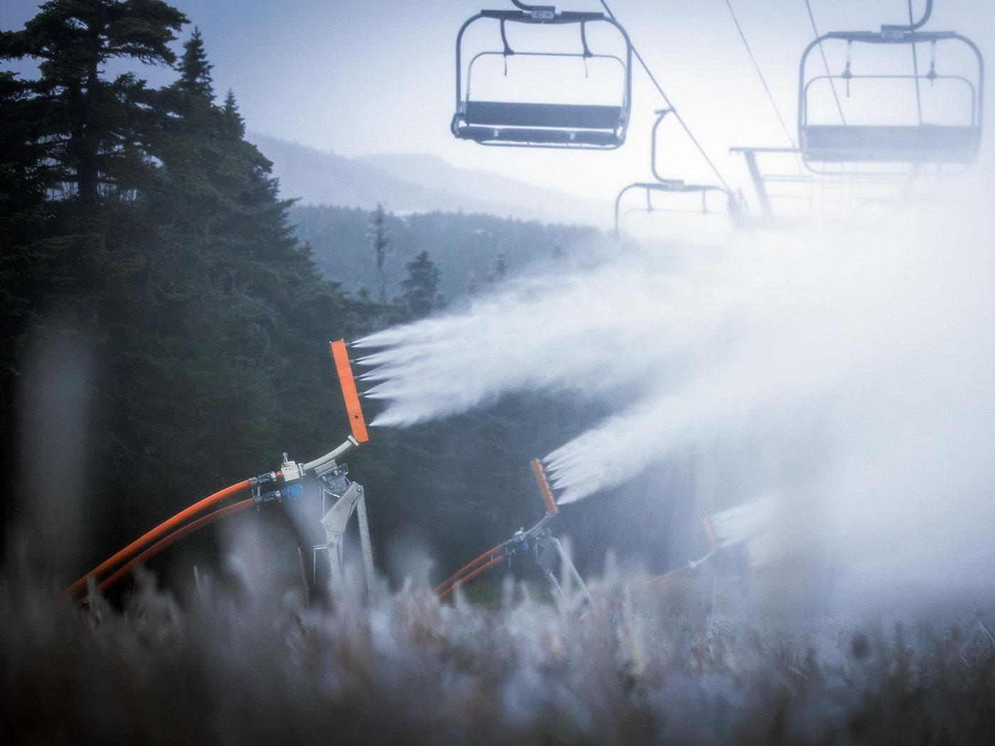
Snow Guns Roar to Life as Ski Areas Across the U.S. Prepare for Winter
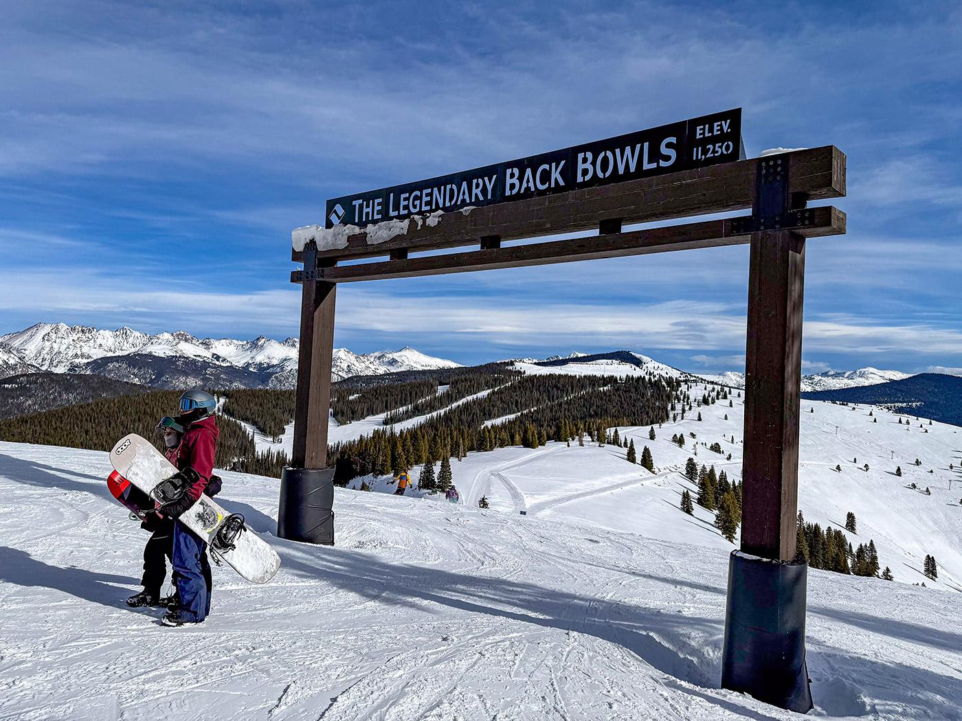
Snow Guns Roar to Life as Ski Areas Across the U.S. Prepare for Winter

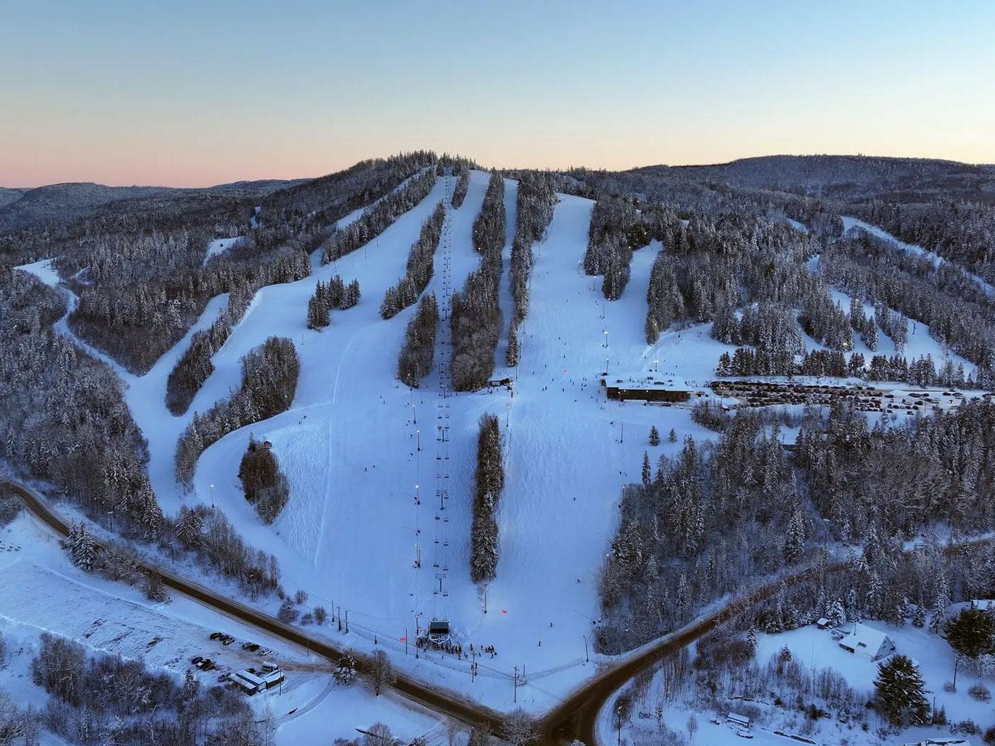
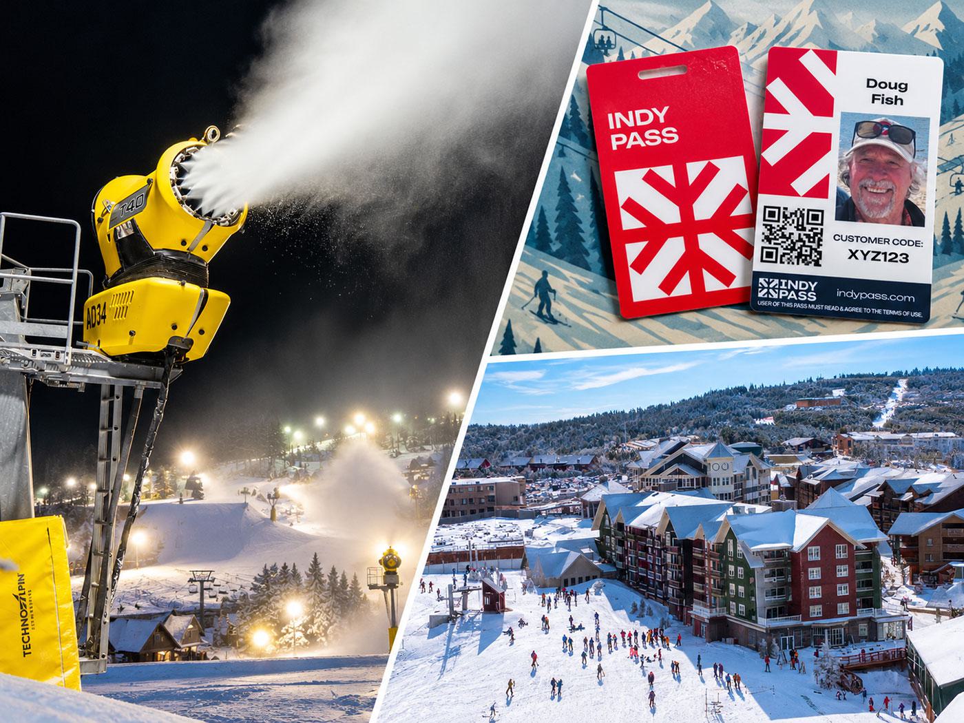
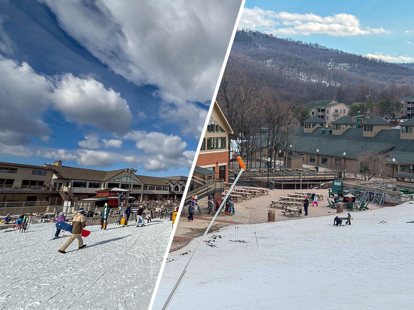
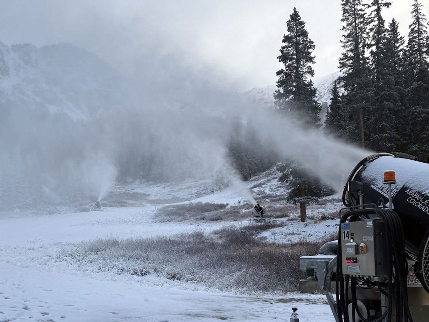
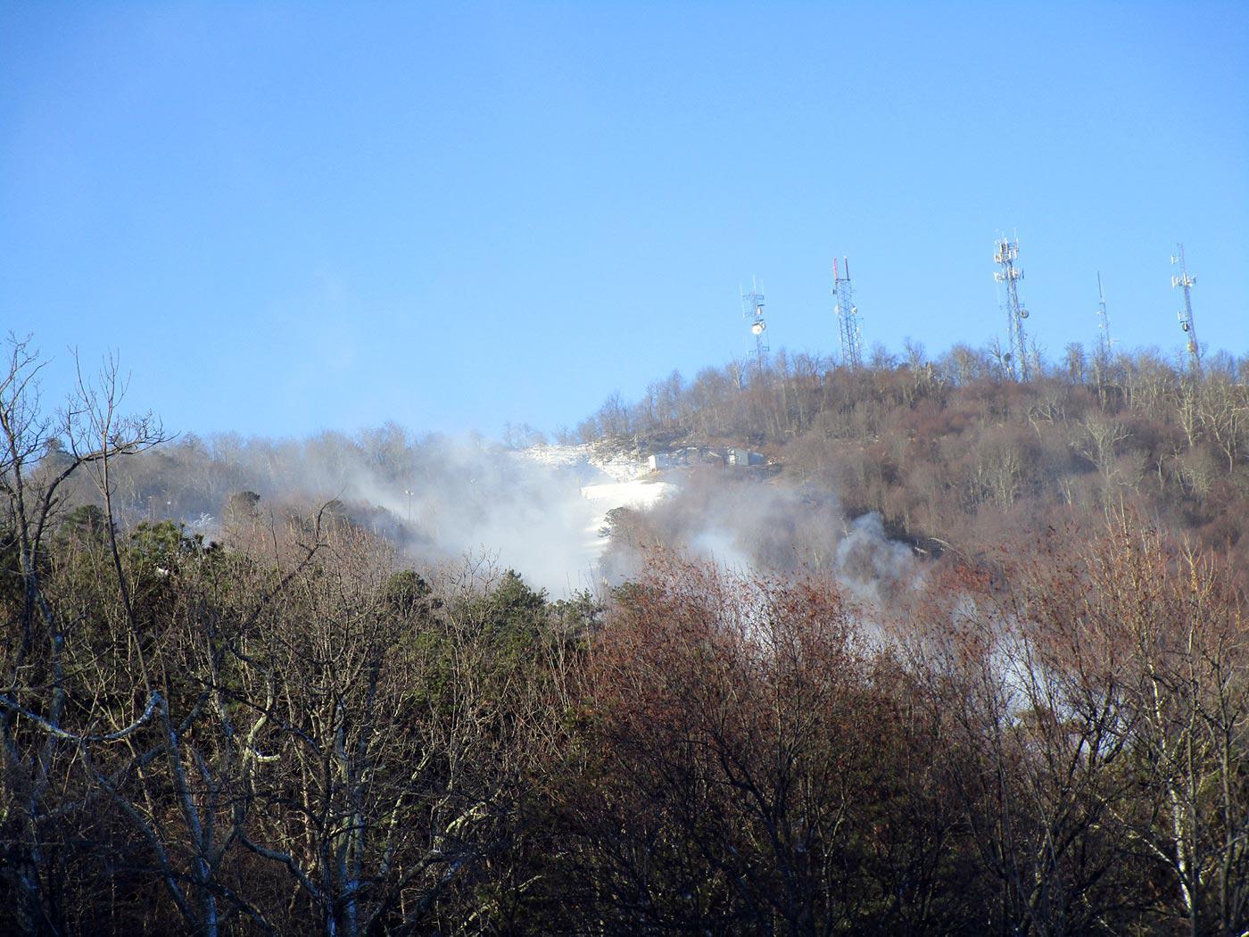
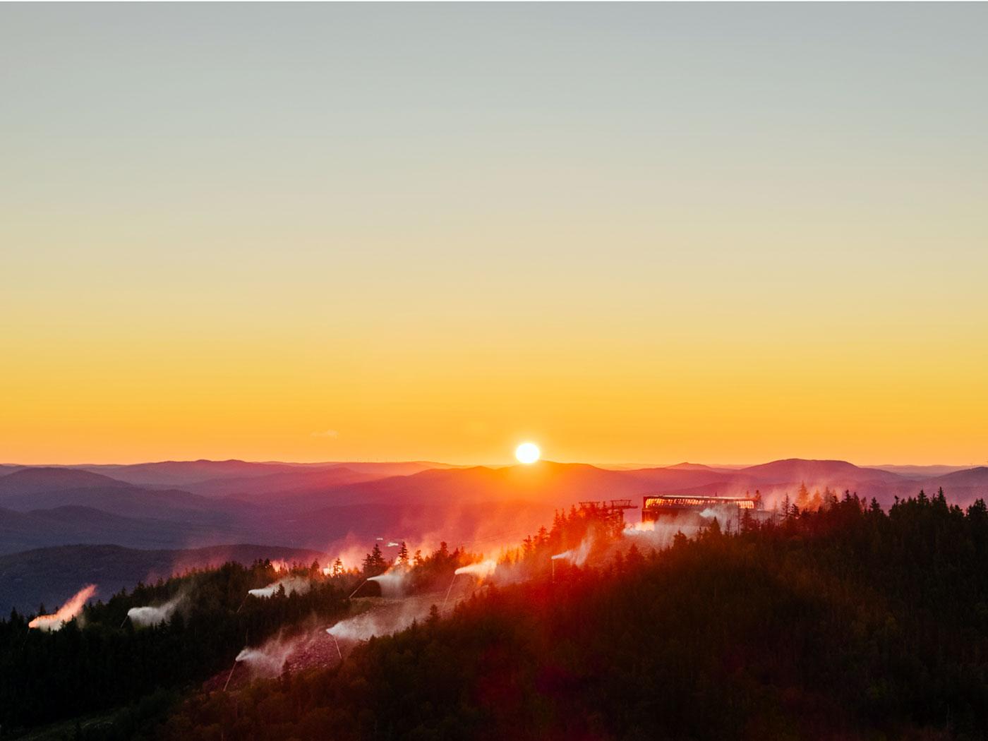
DCSki surveys the early-season snowmaking and opening activity at ski areas across the United States, from Mt. Rose and Colorado to Killington and Sunday River. While resorts such as Arapahoe Basin, Keystone, and Wolf Creek have already welcomed skiers and snowboarders, Mid-Atlantic ski areas are still waiting for a stretch of sustained cold weather.
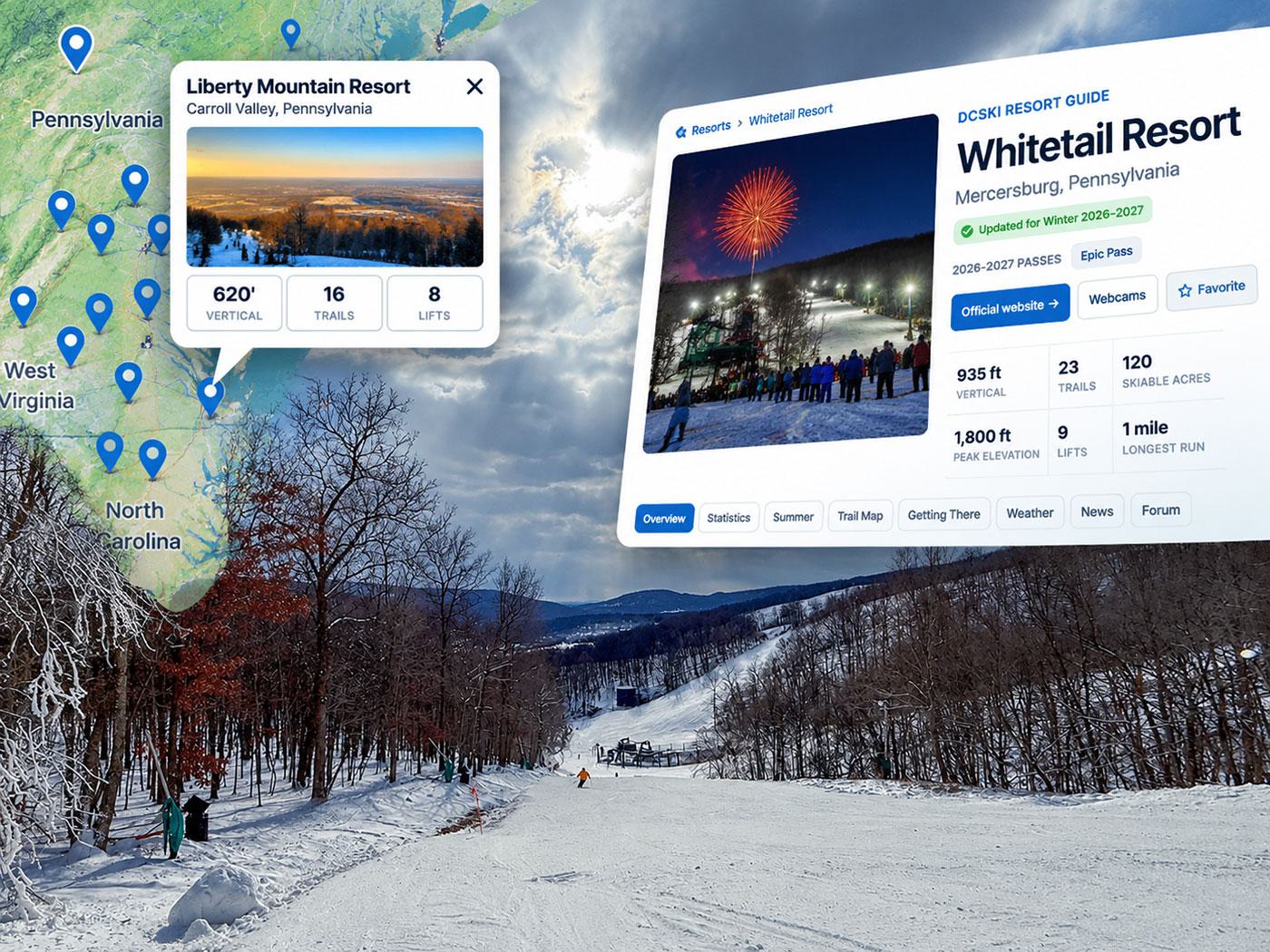
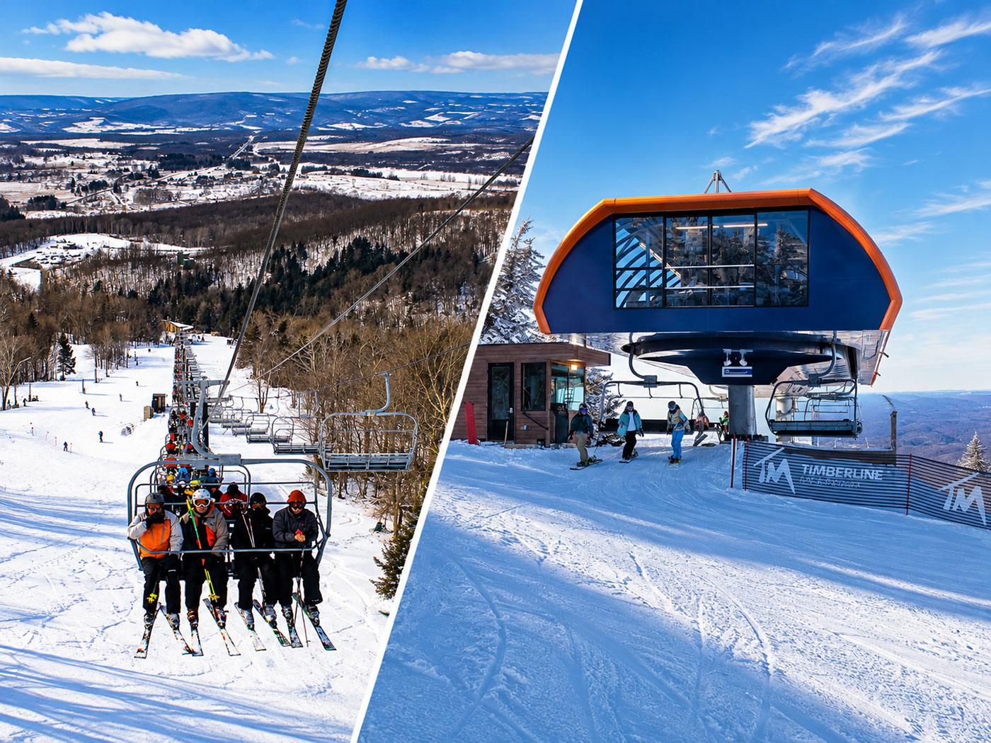
DCSki Resort Profiles Updated for the 2026–2027 Winter Season

DCSki Resort Profiles Updated for the 2026–2027 Winter Season

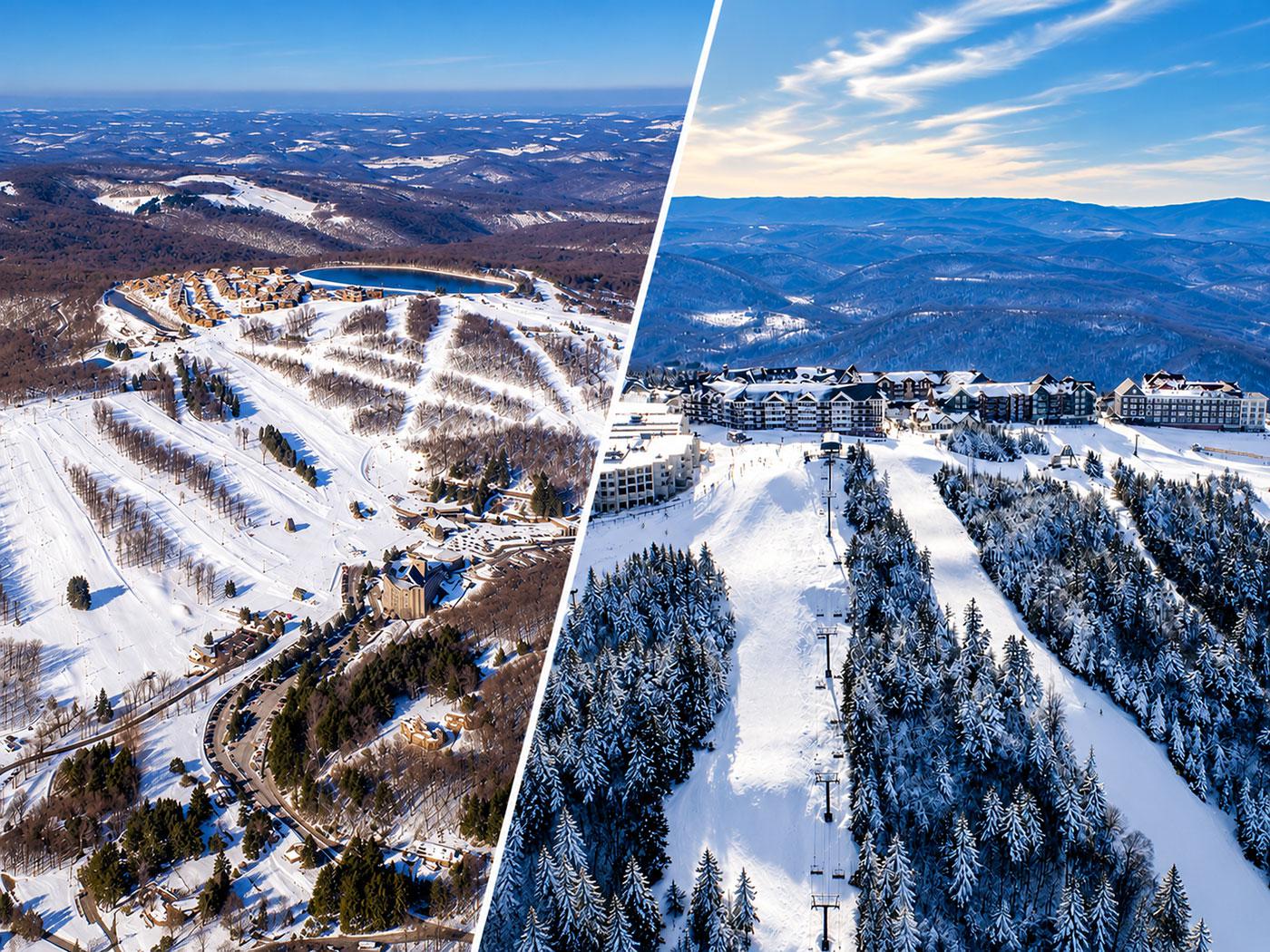
DCSki has completed its 2026–2027 Resort Profile updates, refreshing information on 30 Mid-Atlantic ski areas. Explore detailed mountain statistics, interactive maps, weather forecasts, driving directions, and tools for comparing resorts and planning ski trips.
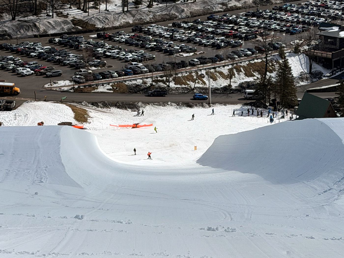
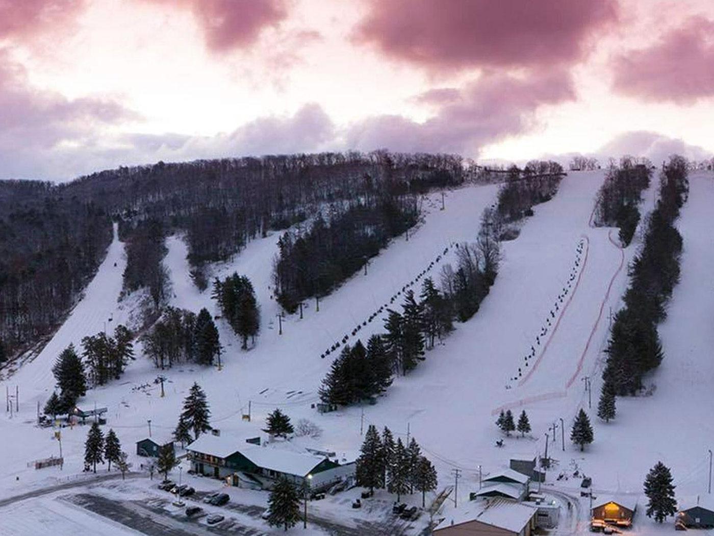
Whatever Happened to the Halfpipe?

Whatever Happened to the Halfpipe?

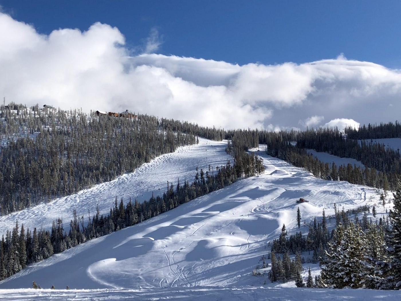
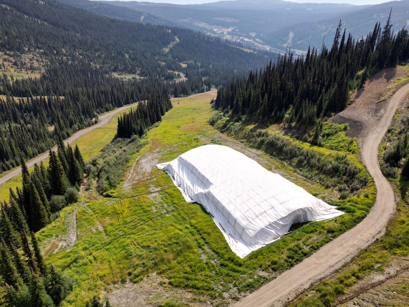
Once a familiar sight at Mid-Atlantic ski resorts, halfpipes have largely disappeared. DCSki looks back at their heyday, the challenges of maintaining them, and a recent revival at Seven Springs.
1 comment
Road Trips "R" Us

Road Trips “R” Us

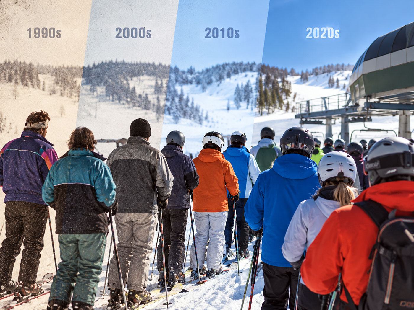
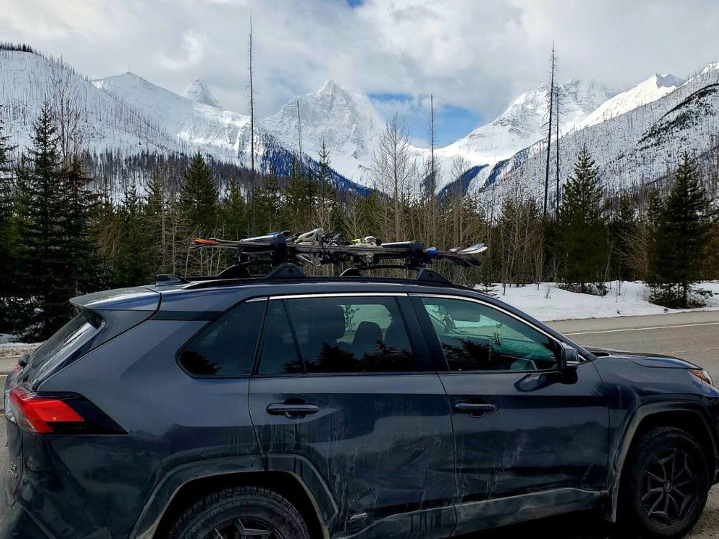
Jim Kenney recounts the beautiful, crazy, scary, lucky, and tasty moments gathered during decades of ski road trips across North America.
Mountain Weather

Mid-Atlantic Skiers' Forecast

Updated an hour ago

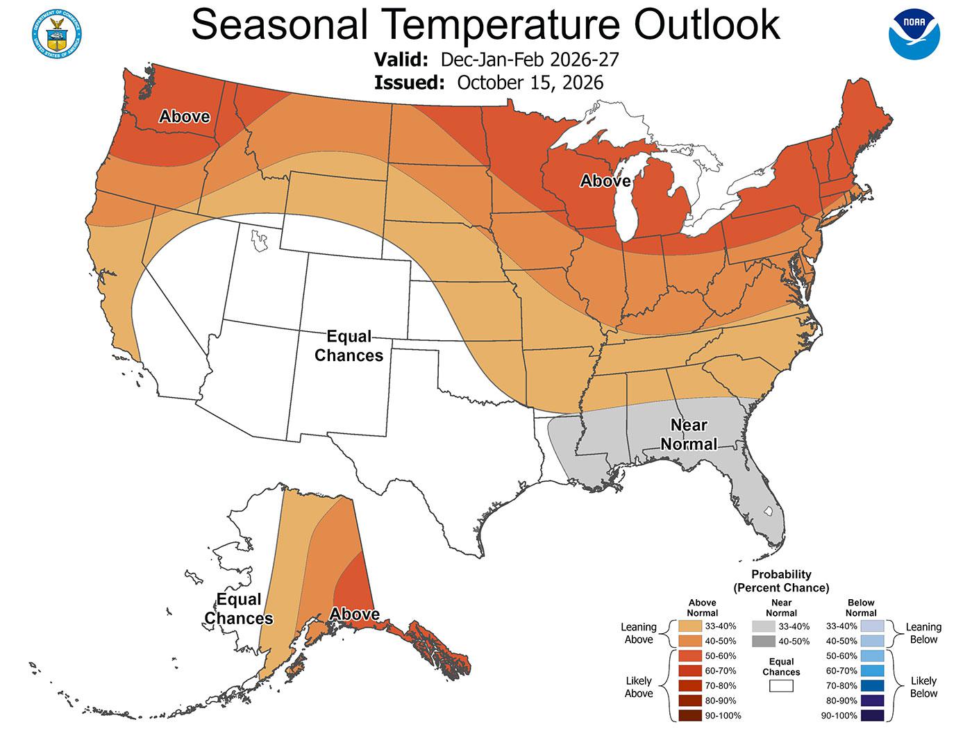
A warm, wet pattern dominates the next several days, with Wednesday highs mostly in the 60s and 70s before widespread rain arrives Wednesday night through Friday. The eastern resorts, including Bear Creek, Big Boulder, and Liberty Mountain, look especially mild, with highs near 70 and periods of rain likely. Higher elevations will be cooler, but still wet -- Snowshoe reaches only the upper 50s Wednesday through Friday, while Timberline and Wisp turn notably cooler by Saturday.

Drier weather returns for the weekend, with many areas in the 40s and 50s Saturday and overnight lows in the upper 30s to mid-40s. Those colder nights could offer a limited potential snowmaking window at the highest elevations, but the forecast remains too warm overall for meaningful natural snow or sustained snowmaking. Windy conditions are also possible in the higher West Virginia mountains, especially ahead of the rain.

Weather Fact of the Day
On November 3, 1966, an unusually early snowstorm whitened much of the eastern United States, with measurable snow reaching as far south as Alabama. Louisville received 13.1 inches, Nashville 7.2 inches, and Huntsville 4 inches -- a remarkable reminder that the Mid-Atlantic’s first serious winter weather can arrive before autumn has fully ended.
DCSki regional outlook based on National Weather Service forecasts for Mid-Atlantic ski areas.
Around the Ski World

Elsewhere on the Web

Fresh ski and snowboard stories from around the web, selected daily for DCSki readers.

Updated 10 hours ago
Links open external websites. Story summaries are generated from publicly available reporting and are refreshed once daily.
DCSki Spotlight

The DCSki Interview Series

Conversations with people who have a connection to the mountains, in the Mid-Atlantic or beyond.

More from this section →
Explore DCSki

DCSki by the Numbers

Catch Up

More from DCSki

Browse all stories →
0.04 seconds