
DCSki reader Mark Bedle writes about a lost ski area in the Poconos region of Pennsylvania:
- “My family used to go there every winter to ski and ride the toboggan run. They went out of business in the 1980’s due to the bigger resorts in the area. Mount Aire I think had a couple of lifts and a couple of trails. The height couldn’t have been over 250 feet. It was a great place to learn to ski and I will never forget the trips. I was up there in the 80’s, but by that time the slopes were closed and the toboggan run had fallen into disrepair. I think a big court battle just took place and a developer has since torn down the lodge to make way for a golf course.”
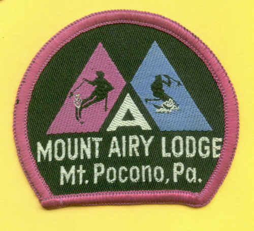
Woody Bousquet uncovered a ski patch for “Mount Airy Lodge” in Mt. Pocono, PA, so we now believe the area name was Mount Airy Lodge, instead of Mount Aire Lodge.
|
|
A ski patch from Mount Airy Lodge. “The patch states ‘Mount Airy,’ rather than ‘Mount Aire,’ but it appears to be the same area described on DCSki as Mount Aire Lodge,” writes Woody Bousquet. Image provided by Woody Bousquet.
|
Woody also uncovered some web sites that mention Mount Airy Lodge. This web page describes some information about redevelopment, while this news article in the Pocono Record indicates that the current owner of Mount Airy Lodge received a state slots license in December, 2006.
Kevin Whipple provided the following information about Mount Airy Lodge in September, 2007:
“I have some additional information on Mount Airy Lodge, near Mount Pocono, PA in Monroe County.
The Mount Airy Resort is located one mile from Rte. 611 between Mount Pocono and Swiftwater. The old lodge has been ripped down to make way for the new slot casino. The lifts have been removed. The pictures I took are from 2004.
From ultimateskiguide.com, Mount Airy had 25 acres, a 250-foot vertical, snowmaking, no night skiing, 60” annual snowfall, 85% beginner, 15% intermediate, longest run of 1/2 mile, and 3 lifts.
I only know of two lifts, which were Hall (I think) double chairs. The vertical couldn’t have been more than 150 feet.
Most of the trails doubled as golf holes in the summer. Everything was of easy grade, but there was a nice little pitch towards the base. The clubhouse for the golf course was the ski lodge in the winter. I can’t say I was sad to see the old Mount Airy Lodge torn down as it had become an eyesore over the years. I also can’t say I’m happy to see a slot casino built in it’s place.”
Kevin provides the following photos.
|
|
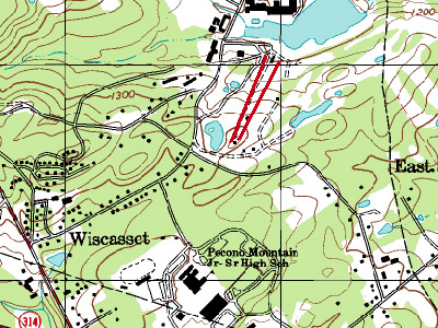
The lift layout on a topographic map. Kevin writes that he can’t really see where 250 feet of vertical come from. The old Mount Airy Lodge was the big structure across from the lifts. Image provided by Kevin Whipple.
|
|
|
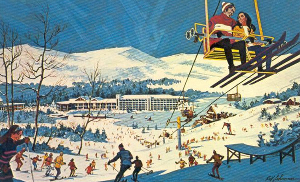
An old postcard from Mount Airy Lodge, courtesy of teachski.com. Image provided by teachski.com.
|
|
|
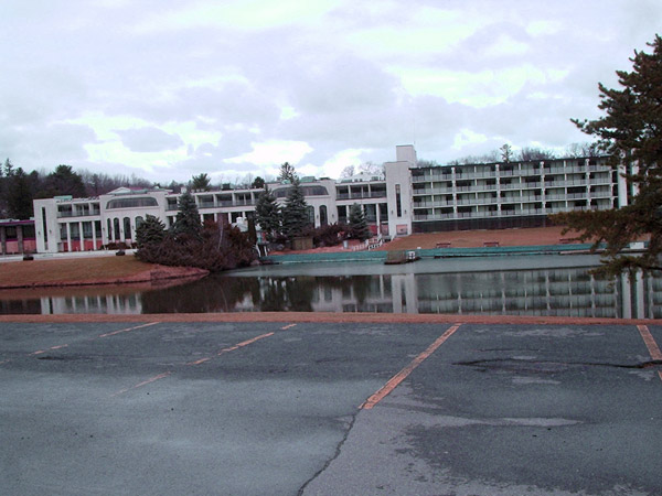
The old Mount Airy Lodge from the ski hill/golf course parking lot. This has been torn down since this photo was taken. Photo provided by Kevin Whipple.
|
|
|
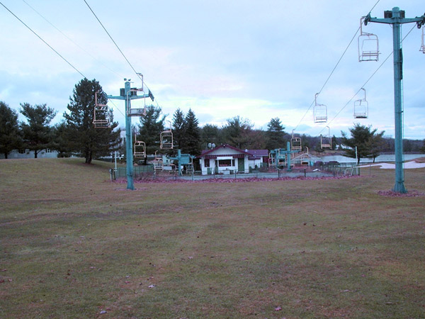
Looking down the hill towards the base lodge/clubhouse, with the two doubles ascending from either side. Photo provided by Kevin Whipple.
|
|
|
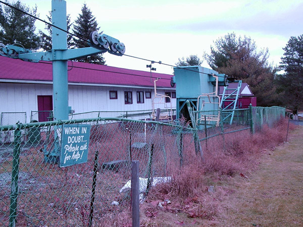
The base of the double chair to the left of the lodge (skier’s right). Photo provided by Kevin Whipple.
|
|
|
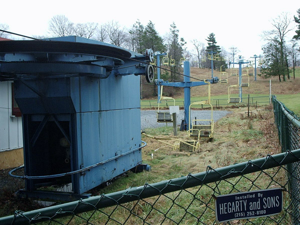
Looking up the hill from the base of the double chair to the right of the lodge (skier’s left). Photo provided by Kevin Whipple.
|
|
|
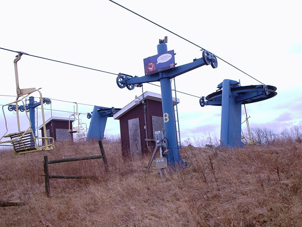
The top unloading stations for the double chairs. Photo provided by Kevin Whipple.
|
|
|
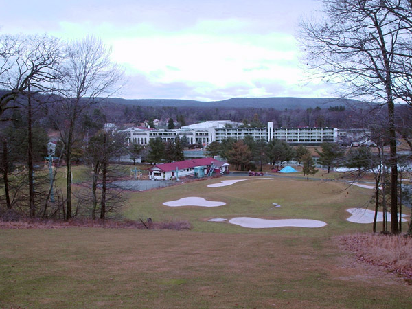
Looking down the hill from atop the steepest part of the slope (a beautiful Par 3 as well, Kevin writes). The Mount Airy Lodge as it appeared prior to demolition looms behind the base lodge and lifts. Photo provided by Kevin Whipple.
|
|
|
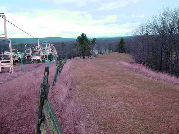
Looking down the trail on skier’s right of the summit. Photo provided by Kevin Whipple.
|
|
|
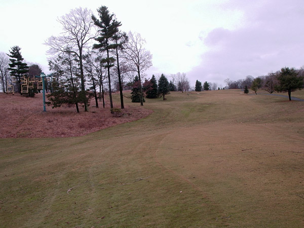
Looking up from near the lodge at the easiest slope. This was on skier’s left of the double chairs. This is also the view from the tee box for Hole 1. Photo provided by Kevin Whipple.
|
|
|
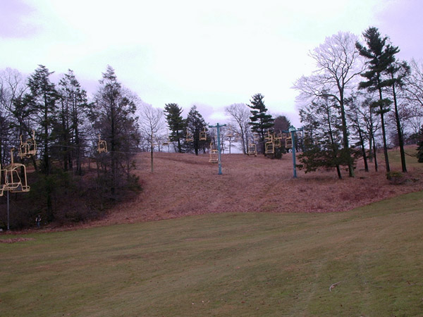
The interesting but short pitch near the base of the hill. Photo provided by Kevin Whipple.
|
|
|
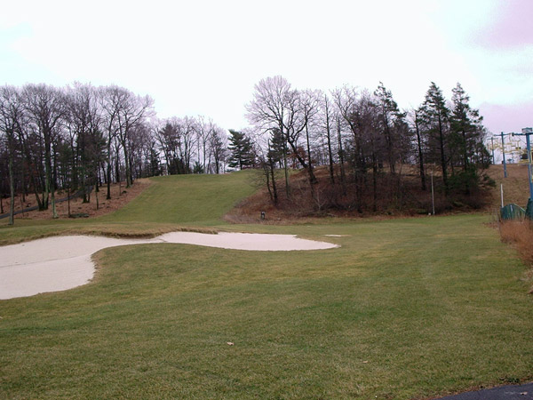
Looking at the steepest part of the hill (true blue grade). Photo provided by Kevin Whipple.
|
|
|
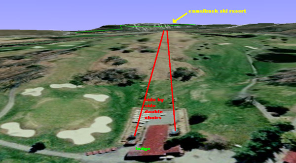
A 3-d view from Google Earth. Image provided by Kevin Whipple.
|
|
|
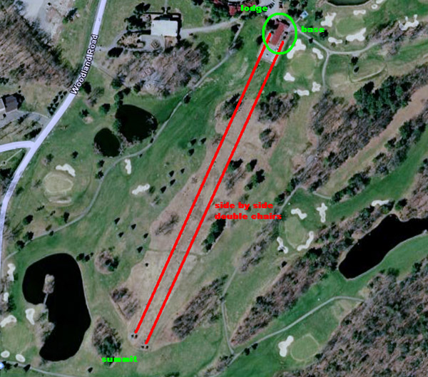
An aerial shot. Image provided by Kevin Whipple.
|



Reader Comments